


Sob la bastide murat vers

Glurps
User


Length
26 km

Max alt
438 m

Uphill gradient
416 m
Km-Effort
33 km

Min alt
120 m

Downhill gradient
700 m
Boucle
No
Creation date :
2024-10-17 06:45:50.0
Updated on :
2024-10-17 15:56:18.431

FREE GPS app for hiking
 SityTrail
IGN / Geographical institutes
SityTrail Plus
The world is yours!
About
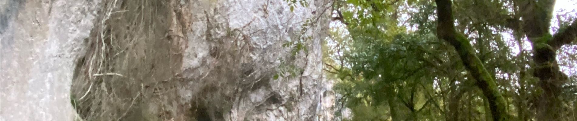
Trail of 26 km to be discovered at Occitania, Lot, Cœur de Causse. This trail is proposed by Glurps.
Photos


Positioning
Country:
France
Region :
Occitania
Department/Province :
Lot
Municipality :
Cœur de Causse
Location:
Labastide-Murat
Start:(Dec)
Start:(UTM)
386227 ; 4944449 (31T) N.
Comments